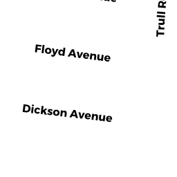
173 DICKSON AV
Owner Information
JDB REALTY TRUST LLC
70 JOHN E SMITH DR
TEWKSBURY, MA 01876


Property Details
173 DICKSON AV is classified as a Single Family Residential (Conventional).
The primary structure on this property was built in 1920. There are 2,622ft2 of built area within this property. There is 1,306ft2 of residential/living space within this property.
173 DICKSON AV is valued at $403,800. The land is valued at $260,600 and the structures are valued at $143,200.
This property is in Zone R40. Confirm with local Zoning Board authorities to ensure there are no overlays or other easements on this property.
The most recent deed for 173 DICKSON AV is recorded at the local registrar in Book 26025, Page 0027. 173 DICKSON AV was last sold on Thursday, May 24, 2012 for $500,334.
Assessment data from fiscal year 2021.
Flood Data
This property is partially within the AE Zone (within floodplain). Approximately 6.72 acres (79.28%) of the property is within this zone.
A portion of this property is denoted as being within a floodway.
This information is sourced from the FEMA National Flood Hazard Layer. See our full disclamer.
Broadband Internet Providers
| Provider | Type | Bandwidth (mbps) | |
|---|---|---|---|
| Comcast | Cable | 1000 | 35 |
| Crown Castle Fiber | Fiber | 0 | 0 |
| Viasat Inc | Satellite | 100 | 3 |
| Verizon New England Inc. | DSL | 5 | 0 |
| VSAT Systems, LLC. | Satellite | 2 | 1 |
| HughesNet | Satellite | 25 | 3 |
| GCI Communication Corp. | Satellite | 0 | 0 |
| Verizon New England Inc. | Fiber | 940 | 880 |
| T-Mobile | Fixed Wireless | 25 | 3 |
Broadband service provider data from December 2020.
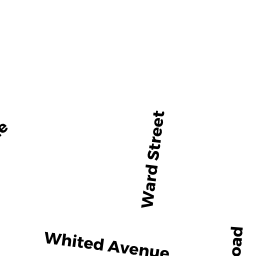
Adjacent Properties
- TRULL RD/OFF
Undevelopable Residential Land owned by GINIERES MICHAEL - FOSTER LN
Potentially Developable Residential Land owned by OBRIEN MARGARET S - 400 CLARK RD
Single Family Residential owned by TRULL BROOK REALTY LLC - 94 LONGMEADOW DR
Single Family Residential owned by ENGLISH JOSEPH A - 280 TRULL RD/BEHIND
(formerly Municipalities/Districts. Removed June 2009.) owned by TOWN OF TEWKSBURY